Before you go
Soak there today?
Check first No closures announced. Check the hours and season with the operator or land manager before you go.
Hours, prices and access change. Check with the spring before you go. Sources reviewed Oct 2026 · View sources · Report an error
Overview
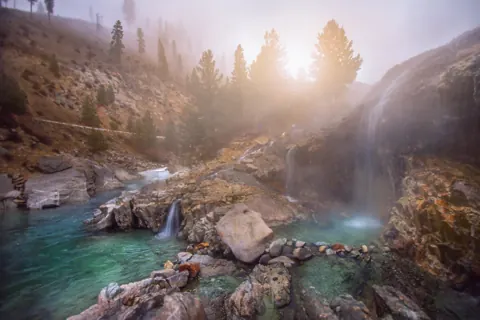
Willow Creek Hot Springs is an undeveloped hot spring in Idaho, near Featherville. Soaking calendar: limited Dec–Feb. Entry is free, as the land manager states. Published hours: No posted hours. Transfer Camp season May 15-October 31 (fs.usda.gov); forest road closed in winter. From Featherville take Forest Road 227 east about 7 mi (11 km), then Forest Road 008 north about 1.5 mi (2.4 km) to Willow Creek Transfer Camp.
At a glance
- Type
- Wild spring
Visiting
- Prices
- No fee at the springs
- Willow Creek Transfer Camp is free with a donation tube
- No reservations (fs.usda.gov Sawtooth NF)
Visit status
- Road and access
- From Featherville take Forest Road 227 east about 7 mi (11 km), then Forest Road 008 north about 1.5 mi (2.4 km) to Willow Creek Transfer Camp (43.6277, -115.1323). Pavement ends at the forest boundary; gravel/dirt forest roads, passable to passenger vehicles in season. Hike about 0.8–1 mi (1.3–1.6 km) north on Willow Creek Trail #019 to an unmarked spur to the pools (fs.usda.gov; backpacker.com; mtbproject.com). Trail has unbridged creek crossings and burn-area deadfall; higher pass snowbound until July.
- Land manager
- U.S. Forest Service
Water and pools
Call ahead for current soaking temperatures.
Getting there
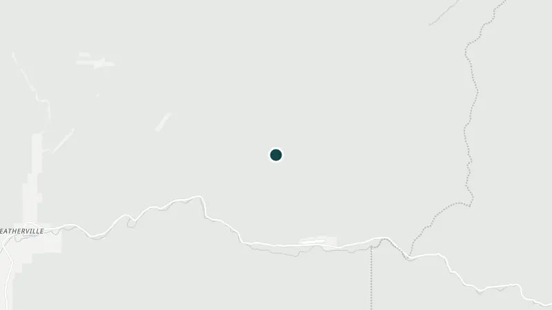
- Spring's map point
43.63728, -115.13052Google Maps · Apple Maps- Directions go to
- The spring's map point. Follow local signs and the land manager's directions to parking or the trailhead.
- For your GPS
- GPX file · KML fileThe spring's map point, to open in a GPS or maps app before you lose signal.
- Nearest town
- Featherville
 ©
Visiting responsibly
A map pin may mark the spring rather than its entrance. Ask the operator or land manager for access instructions before travelling.
Best months to soak
- JanLimited
- FebLimited
- Mar
- Apr
- May
- Jun
- Jul
- Aug
- Sep
- Oct
- Nov
- DecLimited
Best · Open · Limited (snow, road or part-month closures) · Closed
Visitor questions
Are there passes or permits?
Higher pass snowbound until July.
What about winter and seasonal access?
Forest road closed in winter; higher pass snowbound until July.
How is it today?
Been here today? Tell the next visitor what you found, in a few taps. No name or email needed.
Reviews
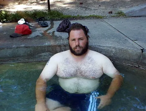
Been to Willow Creek Hot Springs? Be the first to review it.
Write a review
Have a recent photo or a detail to share?
Nearby
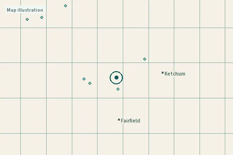
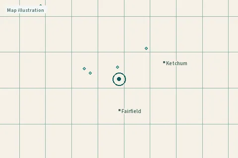
- Bonneville Hot Springs37 mi (60 km)
- Pine Flats Hot Springs40 mi (65 km)
- Mountain Village Resort41 mi (66 km)
- Sunbeam Hot Springs47 mi (76 km)
Day trips: Hot springs near Boise, ID
Page updates
- · Website link added · from fs.usda.gov
- · Prices added · from fs.usda.gov
- · Hours and season added · from fs.usda.gov
- · Access added · from fs.usda.gov
Sources
Updated Oct 2026 · 3 sources
Field notes and sources
- PricesNo fee at the springs; Willow Creek Transfer Camp is free with a donation tube; No reservations (fs.usda.gov Sawtooth NF)fs.usda.gov · read Oct 21, 2026
- Hours and seasonNo posted hours. Transfer Camp season May 15-October 31 (fs.usda.gov); forest road closed in winter.fs.usda.gov · read Oct 21, 2026
- Road and accessFrom Featherville take Forest Road 227 east about 7 mi (11 km), then Forest Road 008 north about 1.5 mi (2.4 km) to Willow Creek Transfer Camp (43.6277, -115.1323). Pavement ends at the forest boundary; gravel/dirt forest roads, passable to passenger vehicles in season. Hike about 0.8–1 mi (1.3–1.6 km) north on Willow Creek Trail #019 to an unmarked spur to the pools (fs.usda.gov; backpacker.com; mtbproject.com). Trail has unbridged creek crossings and burn-area deadfall; higher pass snowbound until July.fs.usda.gov · read Oct 21, 2026
- ListingPlace and access to the publicfs.usda.gov · read Oct 22, 2026
The month on the stamp is the latest date these pages were read. Prices and hours change; check with the operator or land manager before you go. Something different on the ground? Suggest a fix.
remote, conditions change
Map data © OpenStreetMap contributors. Photo credits.