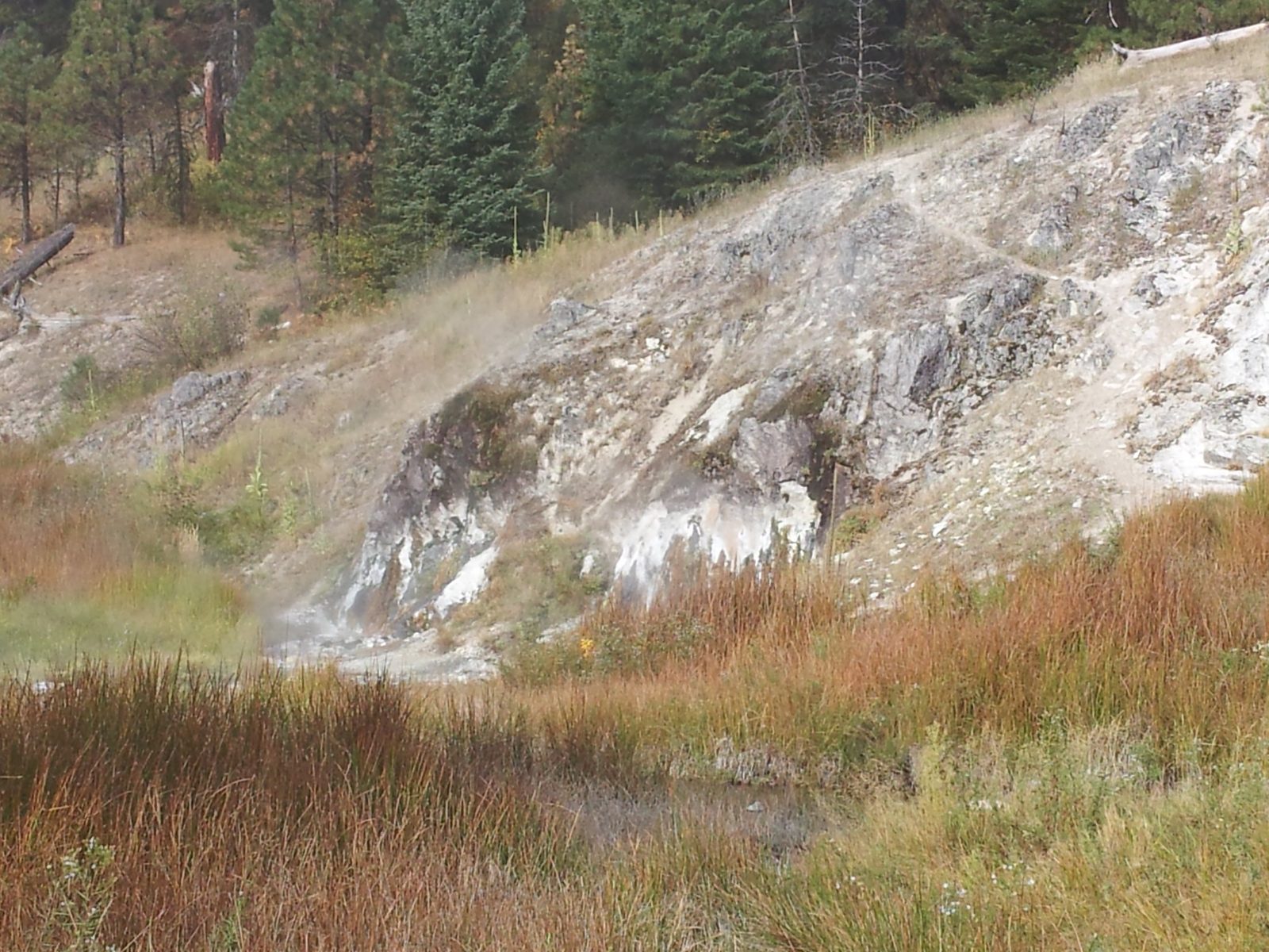
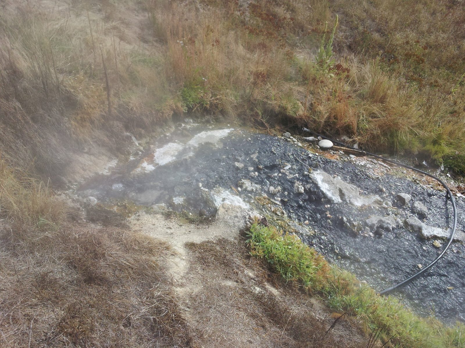
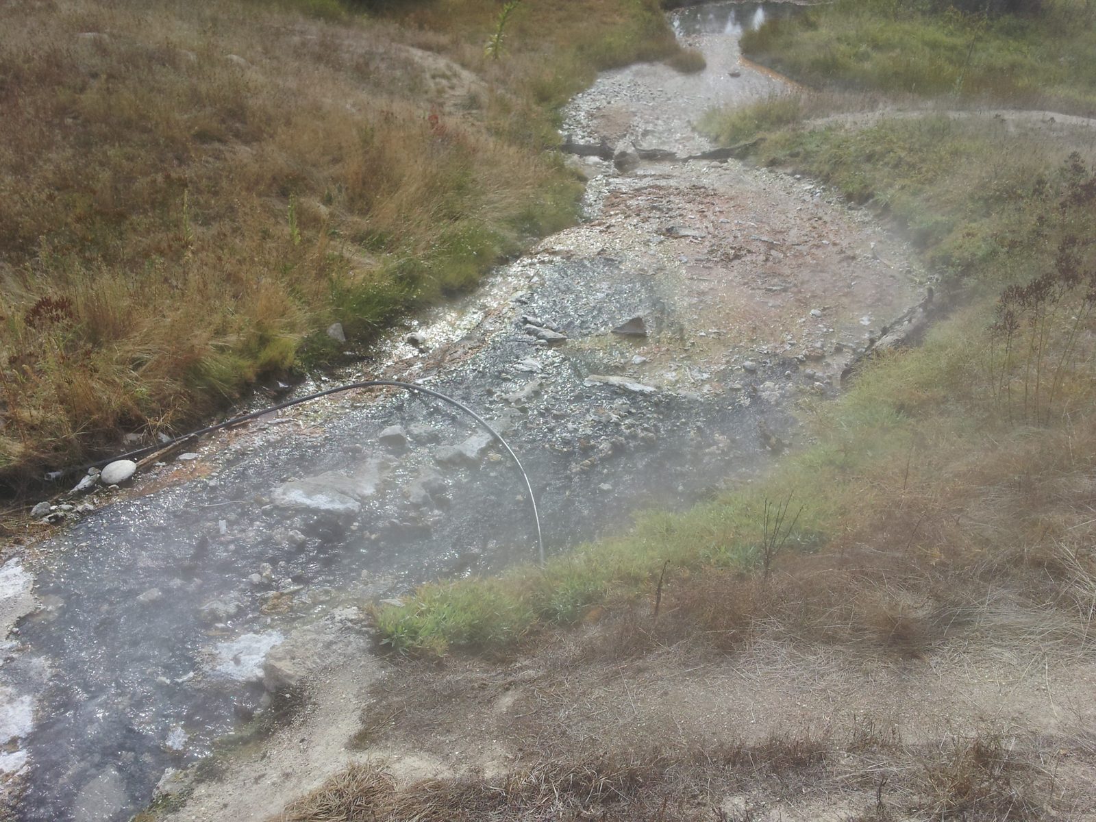
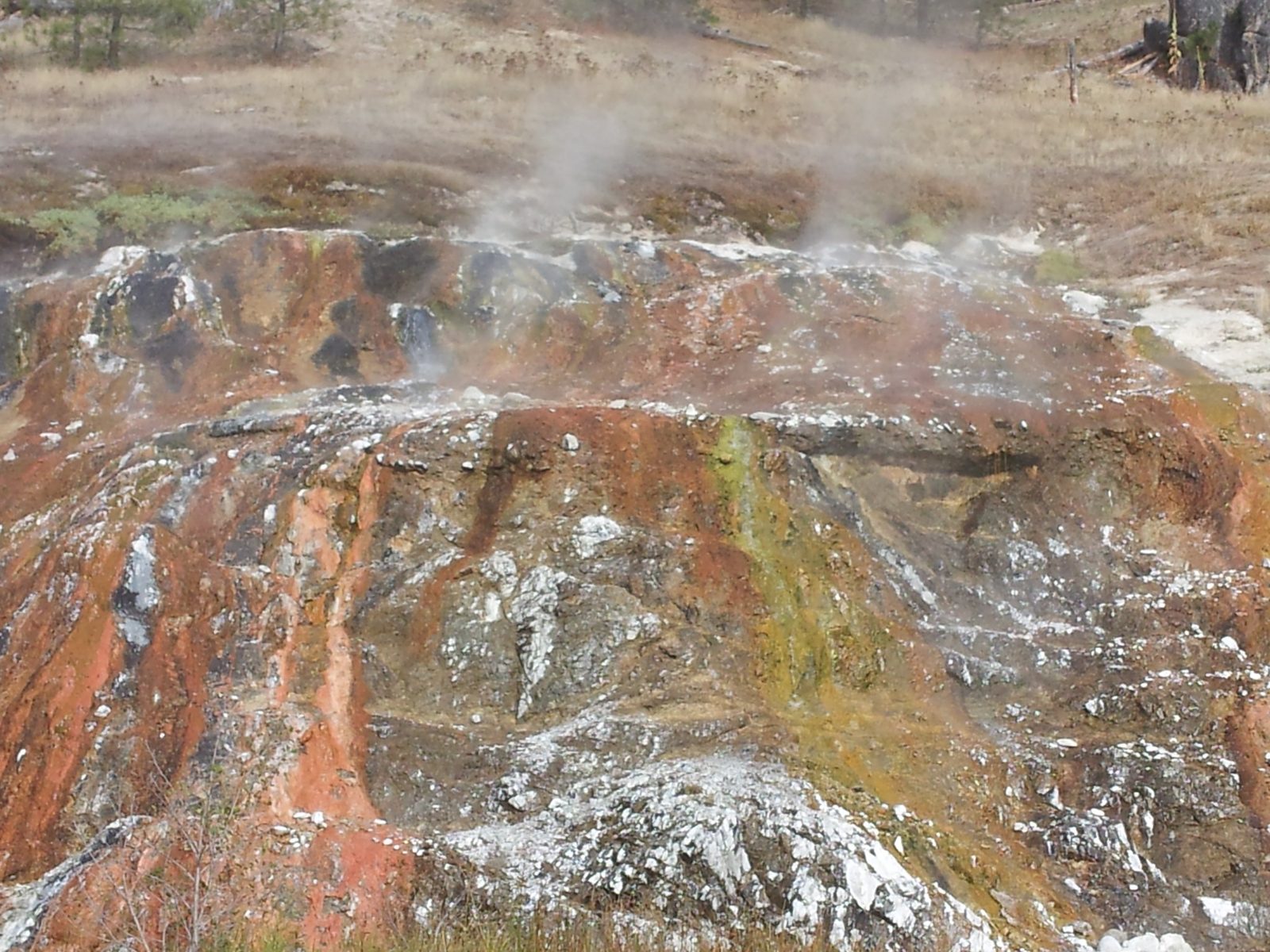
Wild hot spring
Boiling Springs
Idaho
Before you go
Soak there today?
Check first No closures announced. Check the hours and season with the operator or land manager before you go.
Hours, prices and access change. Check with the spring before you go. Sources reviewed Oct 2026 · View sources · Report an error
Overview
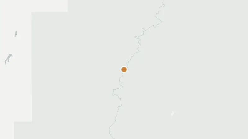
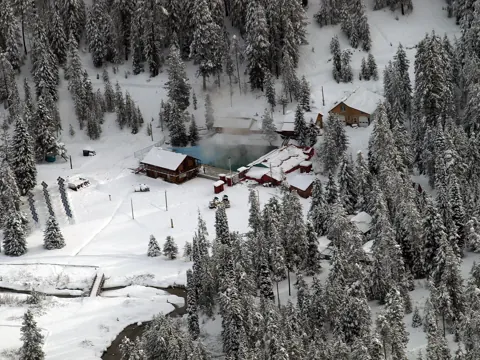
Boiling Springs sits at the end of Forest Road 698 north of Crouch, Idaho, where Boiling Springs Campground lies between the hot spring, a stream and the Middle Fork Payette River. The campground has nine sites and is open from mid-May through September, and the spring is within walking distance. In winter the plowed road ends at a snowmobile lot, 11 mi (18 km) short of the campground.
At a glance
- Type
- Wild spring
Visit status
- Road and access
- From Crouch take Forest Service Road 698 north about 24 mi (39 km) (USFS). Winter access to the cabin is over snow from the snowmobile lot at the end of the plowed road on FS 698 just north of Tie Creek Campground, 11 mi (18 km) in. Nearest town Crouch/Garden Valley.
- Land manager
- U.S. Forest Service
Water and pools
Call ahead for current soaking temperatures.
Getting there
- Drive time
- About 2 h 50 min by car from Boise, ID Directions · Apple Maps
- About 5 h by car from Twin Falls, ID Directions · Apple Maps
- Spring's map point
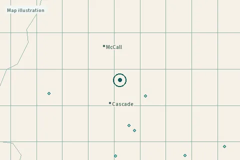
44.36442, -115.85648Google Maps · Apple Maps- Directions go to
- The spring's map point. Follow local signs and the land manager's directions to parking or the trailhead.
 ©
Visiting responsibly
A map pin may mark the spring rather than its entrance. Ask the operator or land manager for access instructions before travelling.
Best months to soak
Check the season with the operator or land manager before you go.
Visitor questions
What about winter and seasonal access?
Winter access to the cabin is over snow from the snowmobile lot at the end of the plowed road on FS 698 just north of Tie Creek Campground, 11 mi (18 km) in.
How is it today?
Been here today? Tell the next visitor what you found, in a few taps. No name or email needed.
Reviews
Been to Boiling Springs? Be the first to review it.
Write a review
Have a recent photo or a detail to share?
Nearby
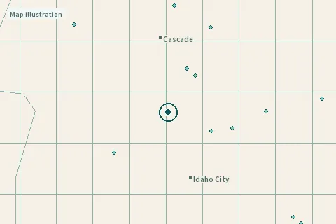
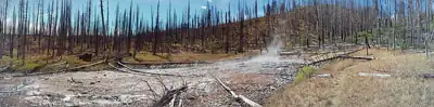
- Pine Flats Hot Springs23 mi (36 km)
- Kirkham Hot Springs25 mi (41 km)
- Bonneville Hot Springs30 mi (49 km)
- Roystone Hot Springs38 mi (61 km)
Day trips: Hot springs near Boise, ID
Page updates
- · Hours and season added · from fs.usda.gov
- · Access added · from fs.usda.gov
- · Website link added · from fs.usda.gov
Sources
Updated Oct 2026 · 3 sources
Field notes and sources
- Hours and seasonCampground season mid-May through end of September (USFS).fs.usda.gov · source dated Oct 21, 2026 · read Oct 21, 2026
- Road and accessFrom Crouch take Forest Service Road 698 north about 24 mi (39 km) (USFS). Winter access to the cabin is over snow from the snowmobile lot at the end of the plowed road on FS 698 just north of Tie Creek Campground, 11 mi (18 km) in. Nearest town Crouch/Garden Valley.fs.usda.gov · source dated Oct 21, 2026 · read Oct 21, 2026
The month on the stamp is the latest date these pages were read. Prices and hours change; check with the operator or land manager before you go. Something different on the ground? Suggest a fix.
remote, conditions change
Map data © OpenStreetMap contributors. Photo credits.

